Our Mount Whitney Expedition
Hi, This is VJ and you have reached my website – intentionally or unintentionally! What you see here are pictures from our 14,494 ft. summit hike on Mount Whitney, Lone Pine, CA - Wednesday, October 13, 2004. (Trip length: October 10th thru 14th)
Mount Whitney is the highest point in the Continental United States. It is located at the boundary between Inyo County, California and Tulare County, California. These pictures are in sequential order with captions entailing what ensued:
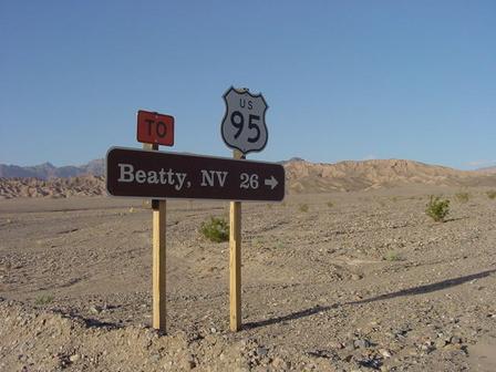
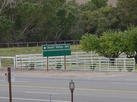
Death Valley, CA (en route to Lone Pine, CA)

Death Valley, CA (en route to Lone Pine, CA)
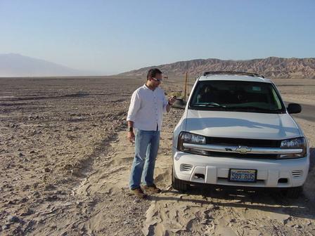
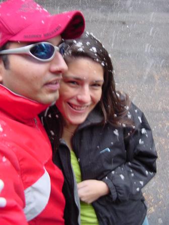
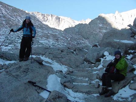
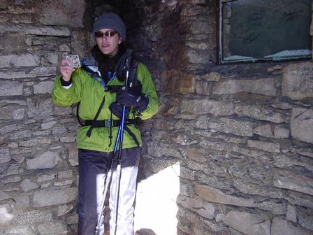
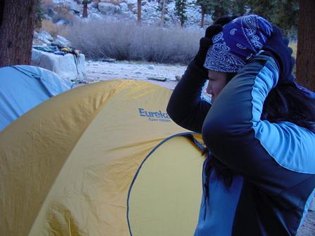
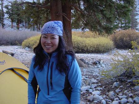
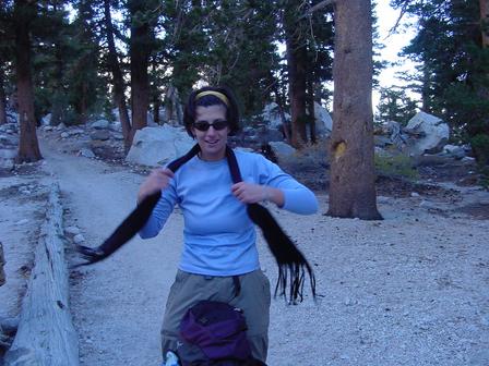
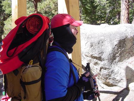
That’s me!
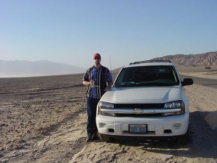
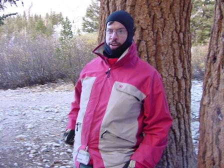
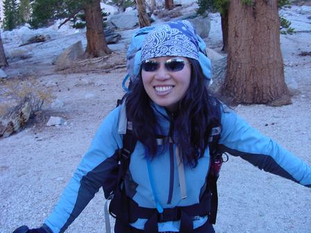
And that’s Andy!
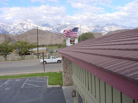
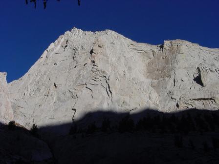
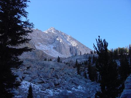
Comfort Inn @ Lone Pine, CA (nice view of Mt. Whitney)
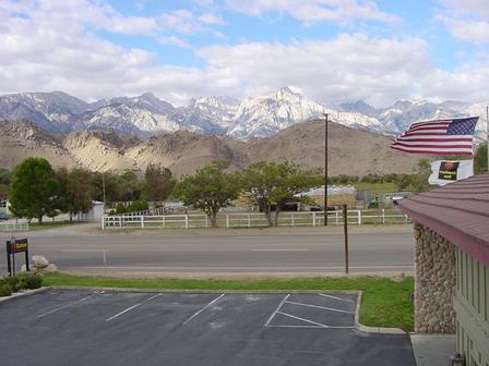
Comfort Inn @ Lone Pine, CA (nice view of Mt. Whitney)

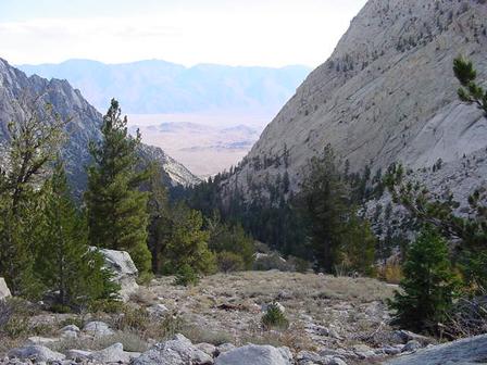
Nice view of Mt. Whitney
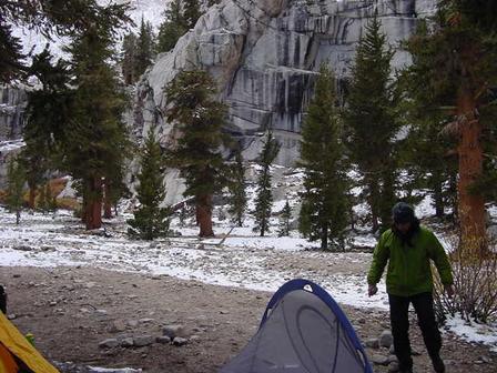
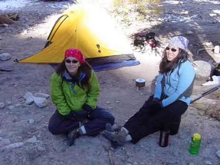
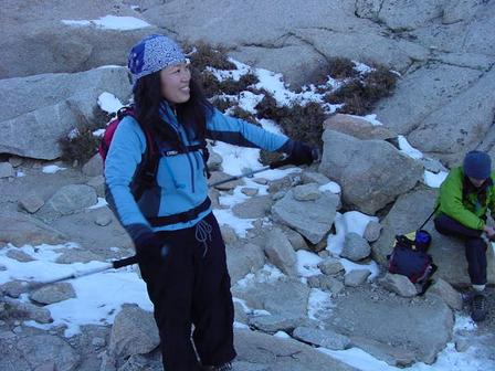
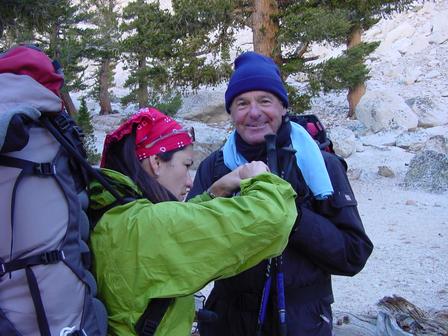
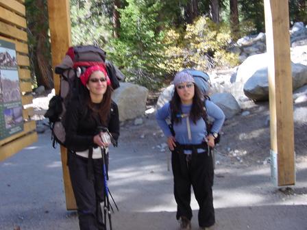
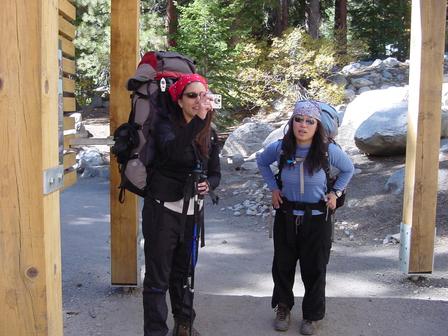
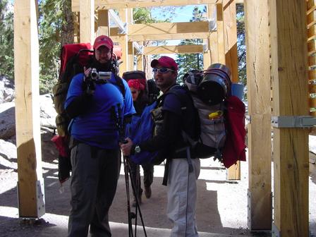
Karla & I @ Whitney Portal (our first snowfall at base camp)
Karla & Kamala @ Whitney Portal

VJ & Kamala @ Whitney Portal
Karla & Kamala @ Whitney Portal
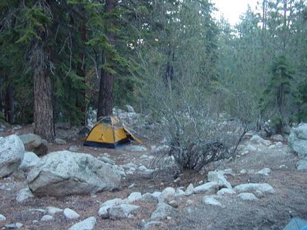
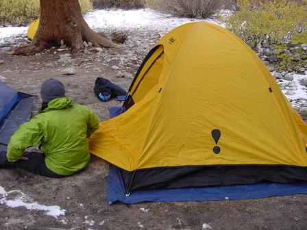
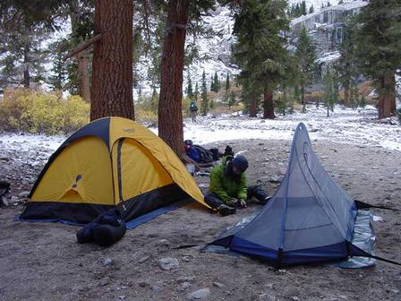
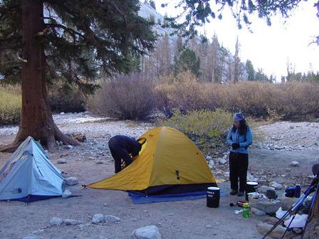
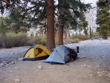
Our first night @ Whitney Portal (camp site #8). Andy and Karla (foreground) and Arrielle (background). This is the last place for campfires!
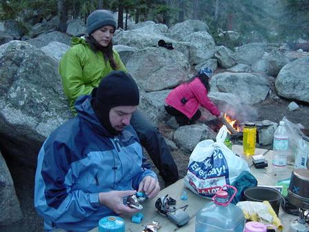
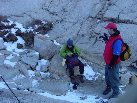
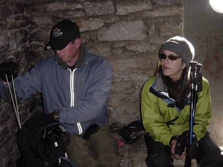
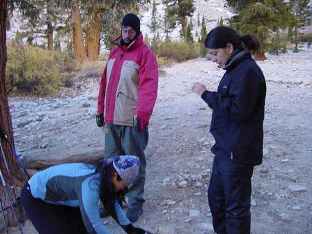
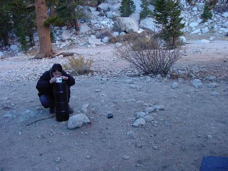
Kamala Marshal looking at Andy working on fixing his stove

Andy & Karla at the Whitney Portal campsite. Andy trying to salvage his new backpacking stove!
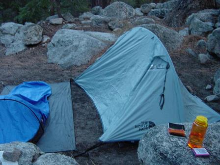
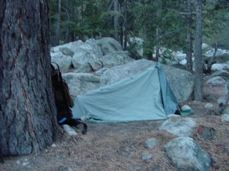
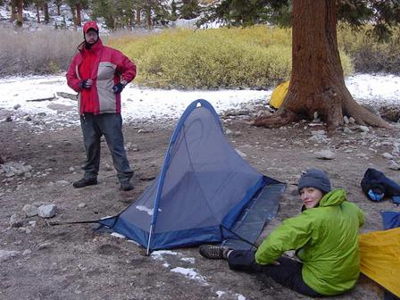
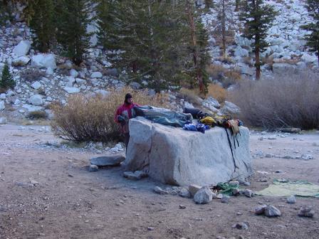
Kamala's bivy and Karla's tent
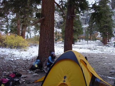
This is where Arrielle & VJ rested on that grueling night!
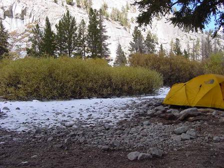
Karla's new tent

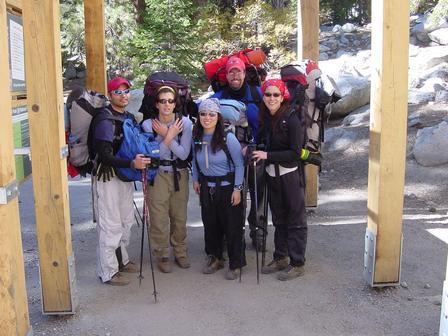
The group - enjoying the night and having our last decent meal before the grueling climb next day.

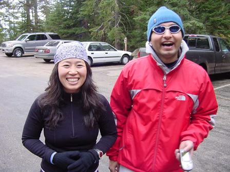
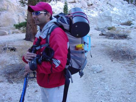
Arrielle & Andy - Tuesday 10/12/04 (next morning). Preparing for ascent up Whitney - estimated time to Outpost Camp is 7 to 8 hours!
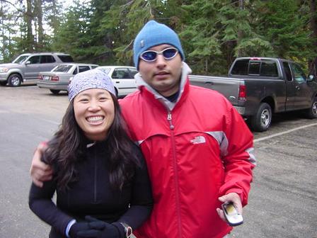
Arrielle & VJ (yours truly) - Tuesday 10/12/04 (all revved up next morning). Preparing for ascent up Whitney - estimated time to Outpost Camp is 7 to 8 hours!
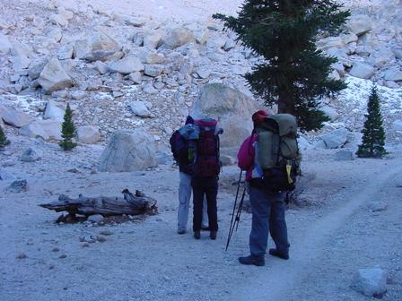
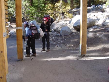
Going up the trail ...
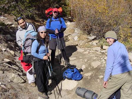
Going up the trail ... VJ, Andy, Arrielle & Kamala (trying hard to smile)
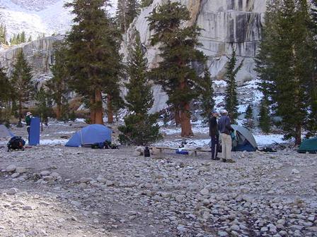
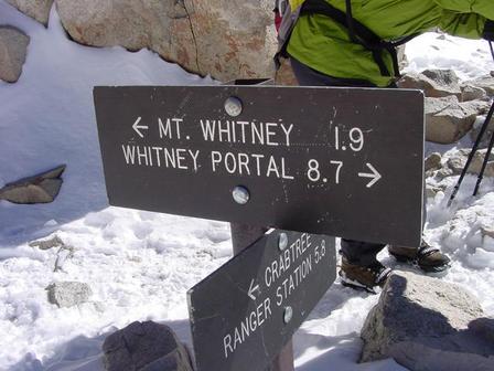
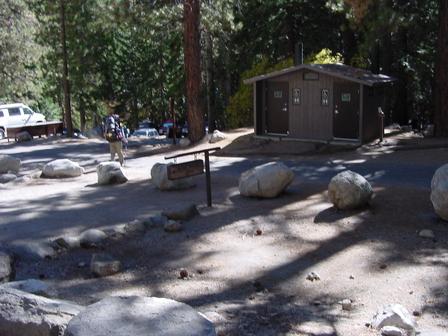
Arrielle @ Outpost Camp (finally)! There are two places to camp on the trail. Outpost Camp is the lower of the two, while Trail Camp lies just below a long series of switchbacks up a steep face. Permits are required for either day hikes or camping. These permits are in great demand, so reservations in advance are required.
Karla @ Outpost Camp.
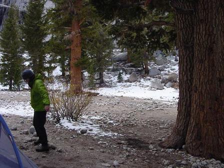
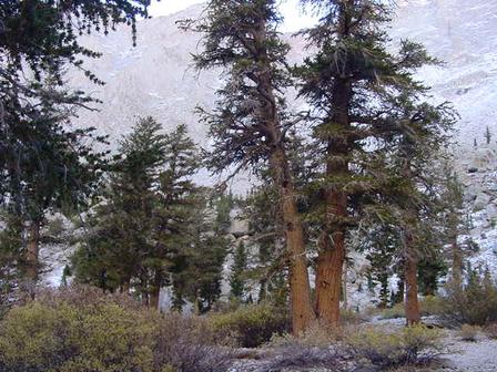
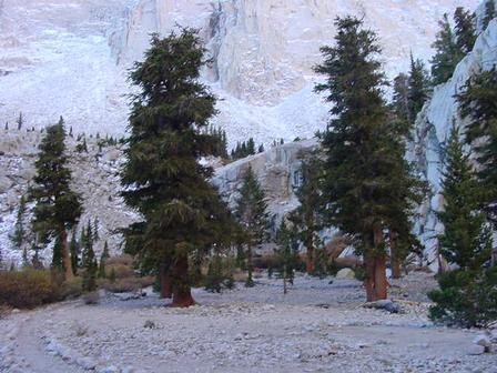
Andy & Karla ... we were all so darn tired! You can see snow on the ground and some trees. We would lose all trees the next day when we ascend above the "tree line".
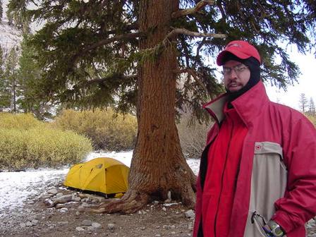
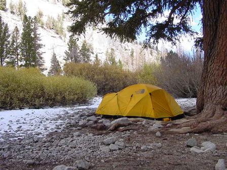
Andy beaming next to a sweet 4-season North Face tent. And no, that's not Andy's tent ;)
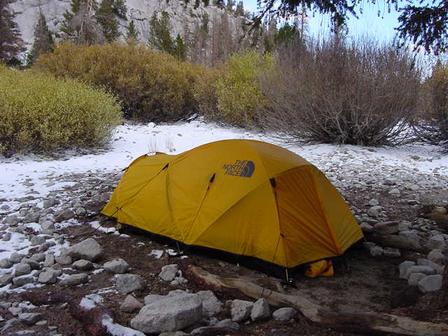
Yup, this guy was at Outpost Camp for 7 nights. He almost lives there ... after all he has a "home" ... better than our 3-season tents!
Andy ... marking a spot to pitch his tent.
These are Arrielle and Karla's tents @ outpost Camp.

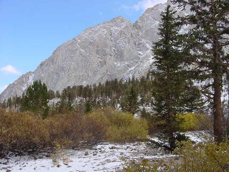
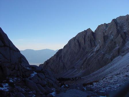
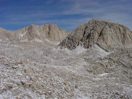
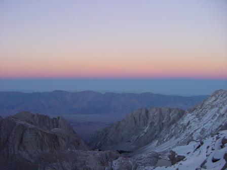
View from Outpost Camp ... just before night fall. FACT: One-day hike up Mount Whitney is extremely strenuous: hikers are advised to be careful of altitude sickness. People also hike the trail in two, three, or four days, sleeping at the camps on the way to the summit.
FACT: The steep eastern side of the mountain offers a variety of climbing challenges. The East Face route, first climbed in 1931, is a classic easy climbing route of the Sierra; mostly Class 3, with the hardest parts at only 5.4 (YDS). Other routes range up to 5.10 in difficulty. The descent is normally along the "Mountaineer's Route", a Class 3 gully to the north of the east face.
YDS=Yosemite Decimal System. The Yosemite Decimal System is a numerical system for rating the difficulty of walks, hikes, and climbs, primarily used for mountaineering in the United States. The rock climbing (5.x) portion of the scale is the primary climb grading system used in the US.
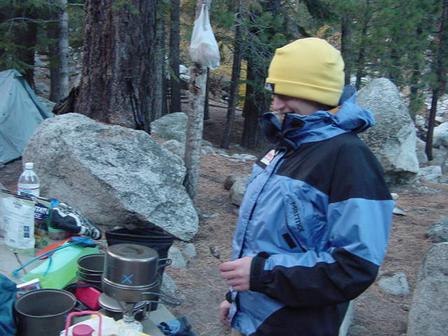
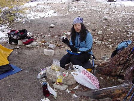
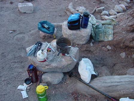
Dinner @ Outpost Camp
The YDS system divides all hikes and climbs into five classes: Class 1: Hiking. Class 2: Simple scrambling, with possible occasional use of the hands. Class 3: Scrambling, a rope can be carried but is usually not required. Class 4: Simple climbing, with exposure. A rope is often used. Natural protection can be easily found. Falls may well be fatal. Class 5: Technical free climbing. Climbing involves rope, belaying, and other protection hardware for safety.
The original Sierra Club grading system also had a Class 6, for artificial, or aid climbing. This sort of climbing uses ropes and other equipment for progress (e.g. climbing a rope up a sheer face with no holds). Class 6 is no longer widely used, however, and artificial climbs today are graded on a separate scale from A0 through A5.

The increasing technical difficulty of Class 5 climbs led to the same "relative grading" problem that had caused the initial development of the system, so that class was subdivided in the 1950s. Initially it was based on ten climbs in Taquitz, California, and ran from "The Trough" at 5.0, a relatively modest technical climb, to "The Open Book" at 5.9, considered at the time the most difficult unaided climb humanly possible. However, advances in techniques and equipment have since led to harder climbs being completed.

The first such climb was given the rating 5.10; the second the rating 5.11. It was later determined that the 5.11 climb was much harder than 5.10, leaving many climbs of varying difficulty bunched up at 5.10. To solve this, the scale has been further subdivided above the 5.9 mark with a-d suffixes. It is now an open-ended scale, with 5.15a the hardest climb having been completed (as of October 2003).
Other Whitney Facts: It is possible to hike up Mount Whitney from Whitney Portal. The hike is 21.4 miles (34.4 km) round trip and 6100 feet (1900 m) of elevation gain. There are two places to camp on the trail. Outpost Camp is the lower of the two, while Trail Camp lies just below a long series of switchbacks up a steep face.
More facts: To the south of the main summit there are a series of minor summits that are completely inconspicuous from the west, but appear as a series of "needles" from the east. The routes on these include some of the finest big-wall climbing in the high Sierra. Two of the needles were named after participants in an 1880 scientific expedition to the mountain: the Keeler Needle and the Day Needle; the latter has now been renamed Crooks Peak after Hilda Crooks, who hiked up Mount Whitney every year until well into her nineties.
FACT: Mount Whitney rises above Owens Valley, which is just over 2 miles (~3300 m) in elevation below the peak. Mount Whitney is also near Death Valley, which contains the lowest point of the United States. The Badwater Ultramarathon is a 135 mile (215 km) running race from the bottom of Death Valley and ending at an elevation of 8360 feet (2548 m) at Whitney Portal, the trailhead for Mount Whitney.
Some more facts: Mount Whitney was named after Josiah Whitney, the chief geologist of California. It was first climbed in 1873 by Charles Begole, A. H. Johnson, and John Lucas (fishermen who lived in Lone Pine, California.)
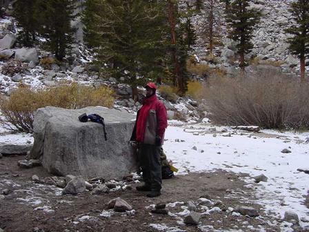
Okay, by this time some other hikers had trudged up Outpost Camp.
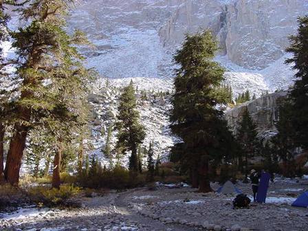
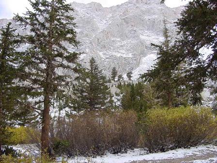
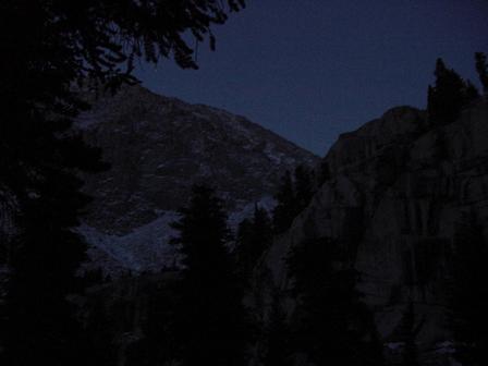
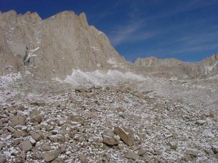
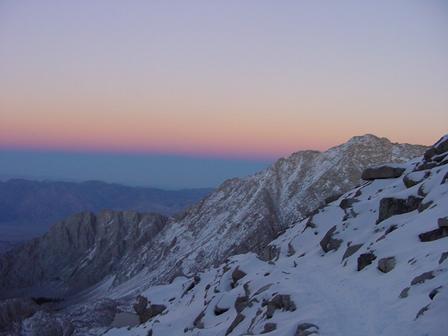
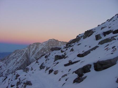
Just about to lose the "tree line" now.
Mount Whitney 101: Whitney, Mount, peak, 14,494 ft (4,418 m) high, E Calif., in the Sierra Nevada at the eastern border of Sequoia National Park; the highest peak in the contiguous 48 states (Mt. McKinley, Alaska, is the highest peak in the United States). It is connected by a scenic highway with Death Valley. The peak is named for U.S. geologist Josiah D. Whitney, who surveyed it in 1864.
Karla & Arrielle - relaxing at Outpost Camp.
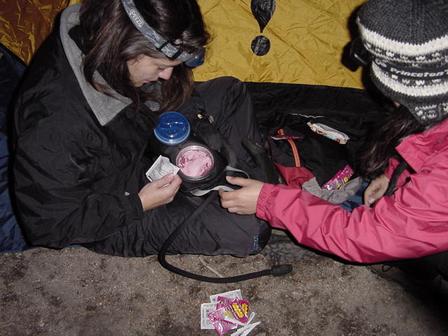
Karla & Arrielle preparing dessert! Yummy!
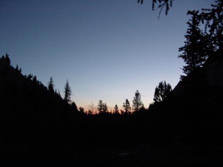
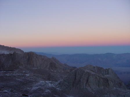
Sunset at Outpost Camp
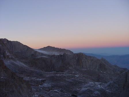
Nightfall @ Outpost Camp

Next morning - Wednesday, 10/13/04 - On way to Trail Camp

Andy, Karla & Arrielle - on way to Trail Camp
Arrielle - en route to Trail Camp
En route to Trail Camp - way over the tree line now

En route to Trail Camp - way over the tree line
Whitney Fact: A trail leads to the summit of Mount Whitney, and a toilet has been installed to accommodate its crowds. Registration is required to climb the mountain, and daily restrictions have now been placed on the number of climbers allowed. There is a very popular 8.5 mile trail to the summit via the Pacific Crest Trail.
Whitney Fact: There are also technical rock routes of moderate up the 2000 foot East Face. If technical climbing from the "climber's approach" then you descend via the Mountaineer's Gulley, North then East down a major couloir (can be icy) back down to "iceberg lake."
More Whitney facts: Interestingly, the highest point in the lower 48 states is only 85 miles from the lowest, Badwater Basin (-279 ft.), located in Death Valley. The distance is somewhat longer by scenic highway, but still requires little more than two hours of travel time.

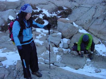
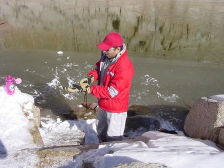
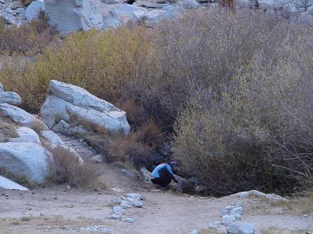
Okay, so finally we are at Trail Camp! Whew! This is Kamala filtering and filling up water.
FACTS: There are other routes besides Whitney Portal which can be taken to reach Mt. Whitney. These routes start from less heavily-used trailheads, but require a longer hike to reach the summit. The High Sierra Trail begins in Giant Forest on the west side of Sequoia National Park, and takes a minimum of 10 days (round trip) to complete. John Muir Trail, which runs south from Yosemite National Park, and the Pacific Crest Trail, also provide access to the summit.
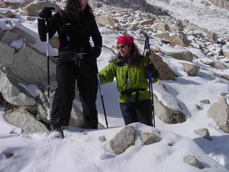
Karla, Arrielle & Andy. This is where we put our crampons on. Crampons are a framework of spikes that are attached to boots to provide traction on snow and ice.
FACTS: The peak hiking seasons are July and August at which time all the campgrounds are likely to be crowded. The weather is unpredictable during all seasons, and summer thunderstorms are common. Summer days can be quite hot at lower elevations while nighttime temperatures can drop below freezing throughout the year. Ice can be encountered on the trail year round.
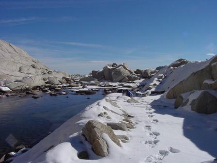
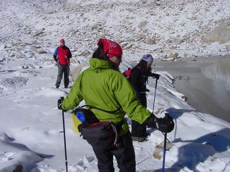
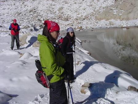
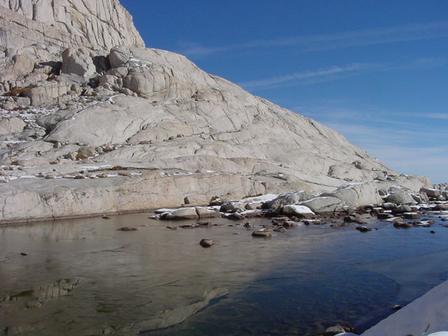
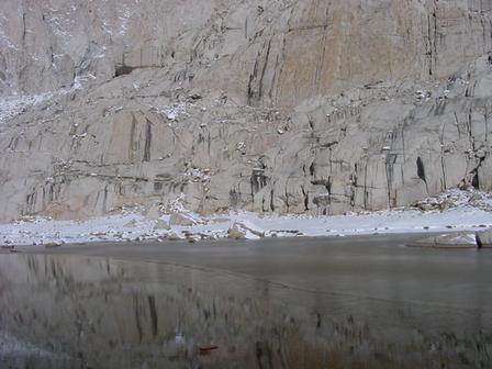
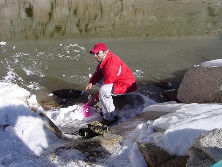
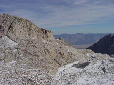
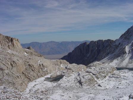
Beautiful shot of the partially frozen lake where we filled up water, just before our summit hike.
Whitney facts: Some days are extremely crowded with 500 or more hikers on the trail. To minimize the impact of day-hikers on the Mt. Whitney backcountry, the National Park Service and the U.S. Forest Service, who manage the Whitney Portal trailhead, have required permits since summer 1996. Now, everyone entering the Whitney Zone between May 22 and October 15, including day-hikers, are required to obtain a permit.
Rules, Regulations, Recommendations: (1) Practice a strong wilderness ethic (2) Acquire all necessary permits (3) Make camping reservations (4) Leave no trace (5) Camp only on sites already impacted (6) Pack out all waste (7) Be respectful of others (8) Prevent altitude sickness (9) Avoid lightning (10) Avoid hypothermia (11) Be prepared for rapid weather changes (12) Be prepared for water purification
Karla filtering water :)
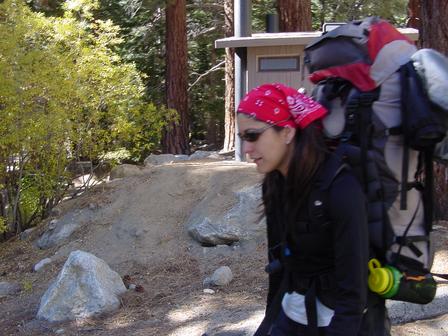
Arrielle adding on some extra layers of clothing
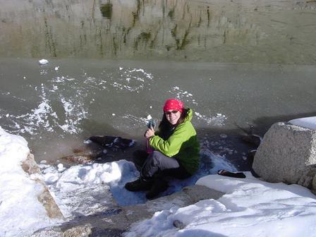
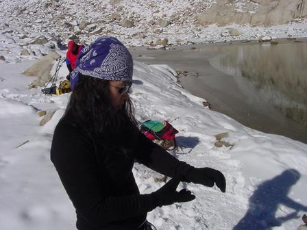
Lesson learnt: You cannot filter water with thick gloves on! That’s me.
Pump it dude! When the air gets thin (at that altitude), pumping water becomes a task in itself! Everything was in slow-motion ...
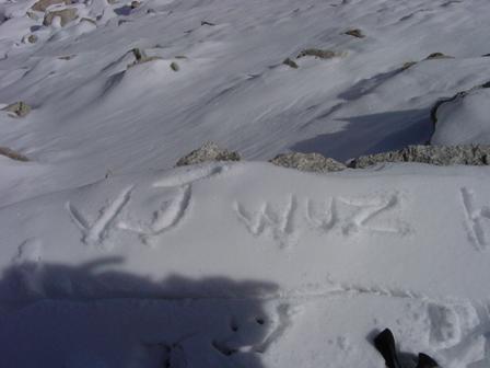
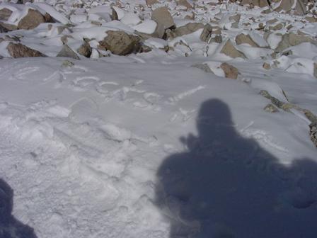
Yeah, I signed my name on the snow :)
And so did Arrielle!
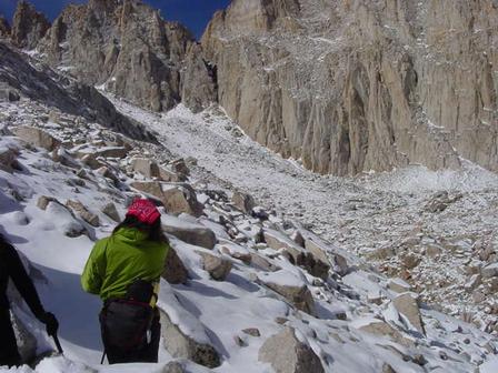
Now we are headed up to the (in)famous 97 switchbacks - on way to the summit!
Andy: "Man, we climbed a long way!" Getting delirious already! :)
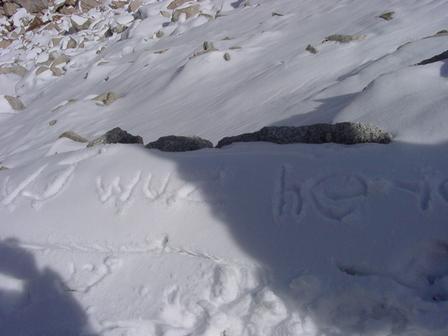
Signature #2
Water: Even if you intend to ascend Mt. Whitney and return the same day, carrying the necessary amount of water -- 1 gallon per day -- can make for a very heavy load. Should you be making the hike in 2 or 3 days, 24 pounds of water, in addition to necessary clothing, camping, cooking and food, is obviously way too heavy. There is plenty of water available, below 13,000 feet on the Whitney Portal Trail. Unfortunately, it must be purified before consumption to avoid disease. This can be accomplished by either boiling, filtration or iodination. Allowing water to boil 5 minutes should ensure safe drinking water at Whitney. Outdoor stores sell water filters, which can purify water of everything except viruses (i.e. hepatitis). These purifying filters can cost up to $100.
Altitude Sickness: Everyone is affected by the reduced amount of oxygen at the elevation of Mt. Whitney. Some people with pre-existing medical conditions -- chronic heart condition, chronic lung conditions, previous stroke, chronic high blood pressure, sickle cell anemia -- should not attempt to climb Whitney without a physician's approval.
Acute Mountain Sickness (AMS): Most individuals will experience some form of Acute Mountain Sickness (AMS) above 10,000 feet. Children are more susceptible than adults. Symptoms of AMS, will vary greatly by individual and will not necessarily be related to age or physical condition. They include - Headache, Nausea, Dizziness, Fatigue, Yawning, Irregular breathing or Shortness of breath, Loss of appetite, Disturbed sleep, Anxiety Attacks, Hallucinations, Cyanosis (blue-tinged lips and tongues).
High Altitude Pulmonary Edema (HAPES): This is a form of altitude sickness in which the lungs fill with fluid. HAPES is a dangerous condition that can result in death if not treated promptly. Individuals with severe AMS symptoms above should be monitored for signs of HAPES.
High Altitude Cerebal Edema (HACES): This much less common, but much more dangerous form of altitude sickness involves a swelling of the brain. It usually only occurs when someone has spent a number of days spent above 12,000 feet. In addition to all other symptoms of AMS and HAPES, HACES sufferers exhibit a loss of coordination (ataxia). The drunk driving test of walking a straight line toe-to-heel is the best way to diagnose HACES.
The only affective treatment for both HAPES and HACES is descent to a lower altitude. A difference of only 2,000 or 3,000 feet elevation can provide great improvement. These conditions worsen during the night, so once diagnosed, waiting till morning is unwise. It is never a good idea to continue a climb once the individual improves. Severe cases should seek medical attention to avoid complications.
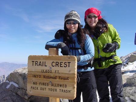
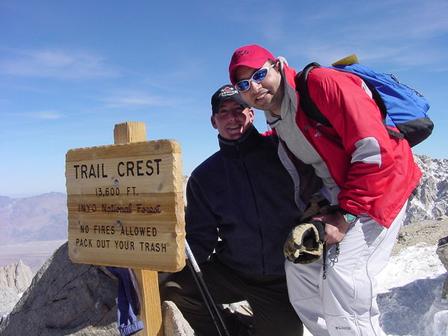
We finally reached Trail Crest - a whopping 13,600 feet!!!
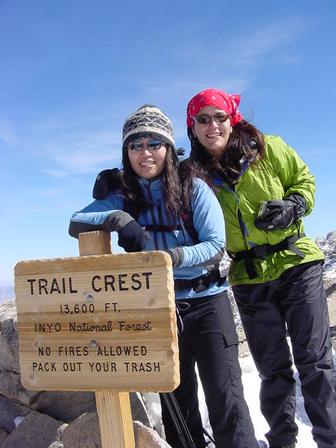
Another impressive shot of Arrielle & Karla @ Trail Crest - a whopping 13,600 feet!!!
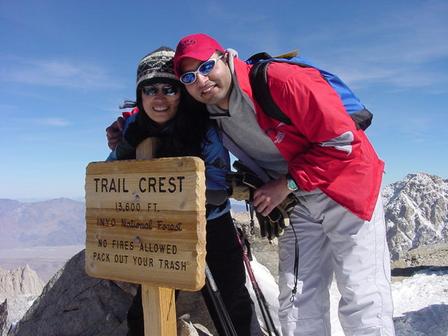
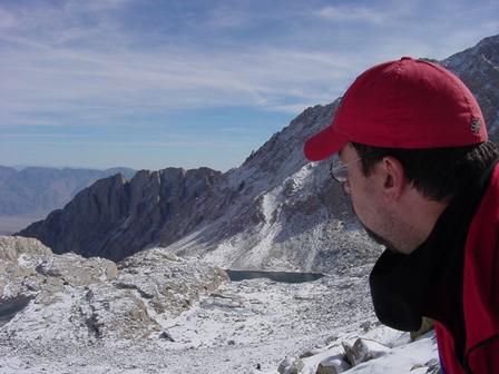
Just trying to prove that I was there too ... at Trail Crest - a whopping 13,600 feet!!!
This is Scott. We picked him along the way to the summit. His hiking partner suffered mild symptoms of AMS and had to bail out on him. We acted as his mentors as he was an inexperienced hiker.
Should we go back or climb up the summit??? It was the hardest decision I had to make - EVER!
Heck, we could head down to the Ranger Station and "chill" with him! :)

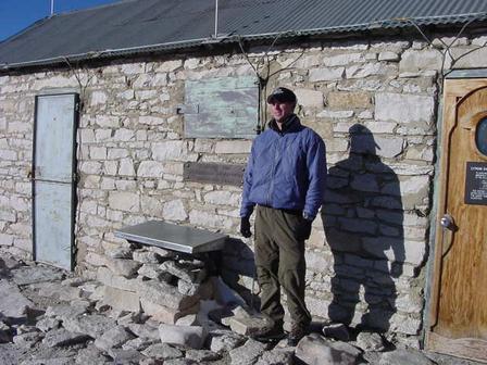
Believe it or not, we are now at the summit!!! Could not take much pictures from Trail Crest to the summit to save on time. This is the famous "hut" at the summit to protect hikers against unpredictable weather. "The hut" was sponsored and built by the Smithsonian Institute on the top of Whitney in 1909. It's a small, stone structure that looks inviting during a storm but people have been electrocuted in the past when they took shelter there from one of the occasional, afternoon storms. There is no safe place on top of Mt. Whitney in a storm and the Forest Service has signs posted saying that when it first starts clouding up, to make a hasty retreat.
Karla "chillin" - literally! It was so darn cold outside that we insisted on staying inside for a while! Brrrr!!!
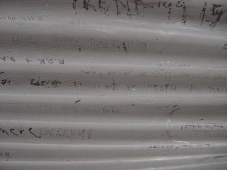
I signed our names on the "rooftop"!
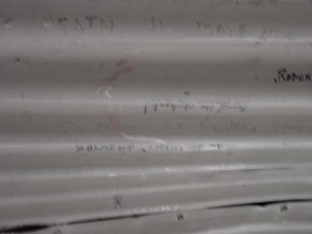
See it now? Schedule an appointment with a good optometrist :)
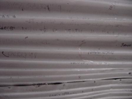
Okay, so it's on the top part. It says "VJ, Karla & Scott - Oct. 13, 2004"
Scott & Karla resting!
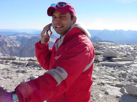
Trying to make a call from "America's rooftop"!
Scott posing in front of the hut. See that metallic thing by his side? That contains the "official" register for climbers to add their names on this most coveted list! By the way, we had no idea of this till we got back to Trail Camp! Can someone please add my name to it if you ever get there? Thanks!
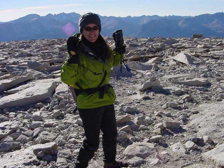
Karla ecstatic!
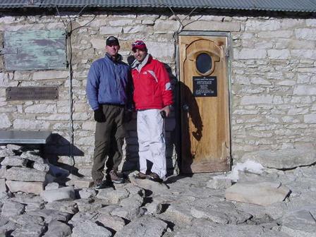
Scott & VJ posing in front of "the hut" at the summit.
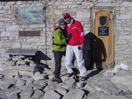
Karla & VJ posing in front of "the hut" at the summit.

Karla sitting on top of that register! If only she knew what it was!!!
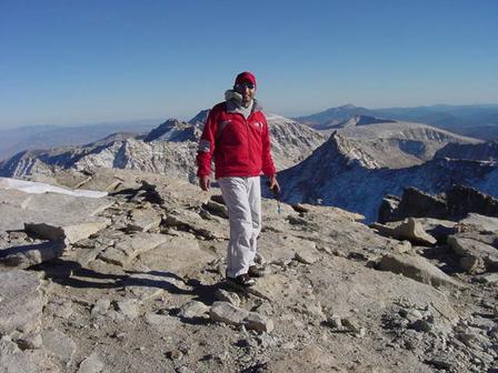
On top of the world! Well, the continental US maybe ;) I've reserved Everest for a later date!
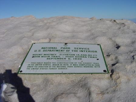
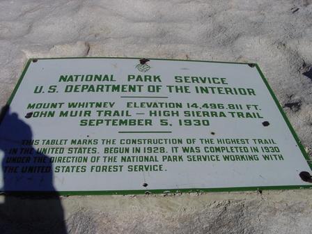
This is the actual plaque on the summit put there by National Park Service.

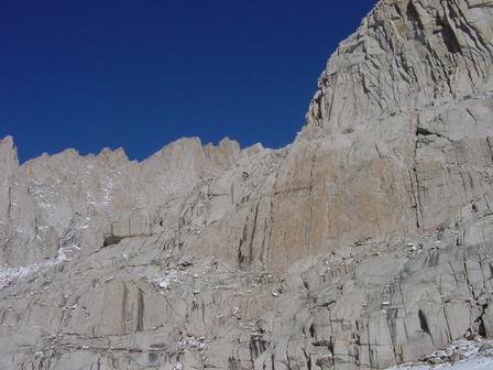
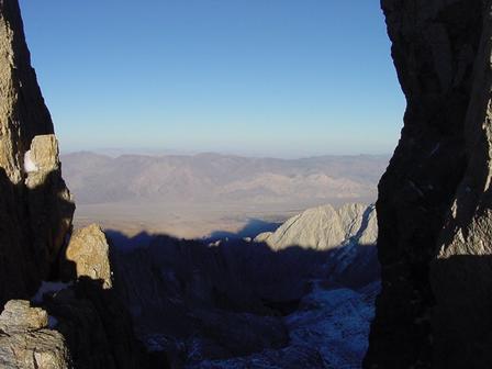
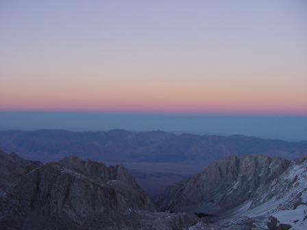
View from the summit!!!!!!!!!!!!!!!!!!

Another shot from the summit!!!!!!!!!!!!!!!!!!!!!!!!!!
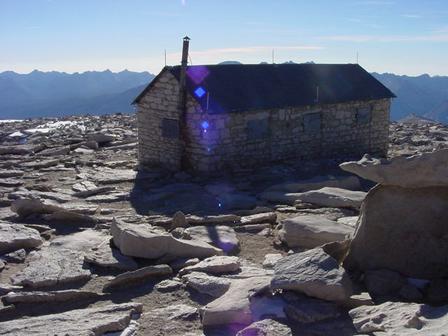
That is a view of "the hut" on Whitney's summit!
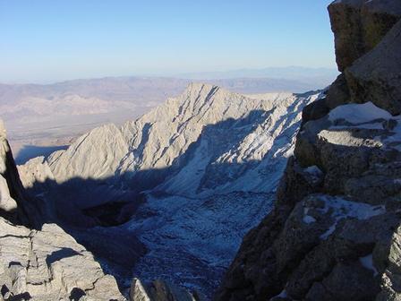
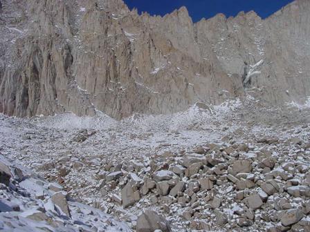
This is on the way down - view of the famous "corridor".
"Corridor shot". FACT: The key to a successful hike is to develop a consistent pace and don’t stop "to rest" too often. The switchbacks can be tough if they are taken too fast, especially the famous "97" above Trail Camp.
The Trail: It averages about 550 feet elevation gain per mile, an easy slope. There are a few shallow stream crossings with a couple of slippery logs and rocks. The trail surface is smooth in most places with some rocks up at the higher elevations. Even in the summer time small patches of snow/ice can often be found on a couple of the 97 switchbacks above Trail Camp.
This is where we turned on our headlamps. By this time, we had spent all our water reserves! Without any water filters and no water source, we ate ice to keep our bodies hydrated!
Coming back down on the 97 switchbacks! This trek down is extremely dangerous after sunset and is not recommended at all! Yup, we screwed up the timing on this climb, so please DO NOT attempt this!
The trail was covered with snow and it was extremely hard to follow. My boy scout training came in handy when we got off track twice.
Sheer drop was 900+ feet on one side. Hikers have to be extremely careful!
Coming back down to Trail Camp. This is last of the shots for that day. We kept hiking 5+ hours after nightfall just to get past Trail Camp all the way to Outpost Camp! Not recommended at all!
Next morning - Thursday, 10/14/04: Last night was the most grueling ever! We hiked back from Whitney summit to Trail Camp to Outpost Camp - NONSTOP in the DARK! We were trying to conserve batteries by using only one headlamp - we had 2 (Karla & VJ had one each). Scott had climbed the Whitney summit without water, flashlight, headlamp, survival gear or a GPS unit - he was totally dependent on us. Scott almost slipped to death plus, we heard a ferocious bear on the way down too! Now that's shit scary - and well, kind of rock 'n' roll!!!
This is Thursday morning, 10/14/04 at Outpost Camp

Breaking camp at Outpost Campsite
See that black box in the foreground? That's a "bear box" to keep food secure from bears! Just so they don't come crawling in your tent at night.
Andy (Outpost Camp) - he was the first to break camp and get set - ready to roll downhill.

Arrielle & Karla packing food in the "bear boxes".
Andy overlooks as Arrielle & Karla pack food in the "bear boxes".
Breakfast at Outpost Camp
Getting ready to head back to civilization (Whitney Portal).
Karla using 2 bear boxes as a tripod to take group pictures.
Arrielle - happy that we are headed back to ground level and then party on in Las Vegas! She and Andy both had symptoms of Acute Mountain Sickness (AMS).

Karla is happy at the mere though of celebrating our Whitney summit in Vegas! :)

Did I mention that spa was also on the menu in Vegas?
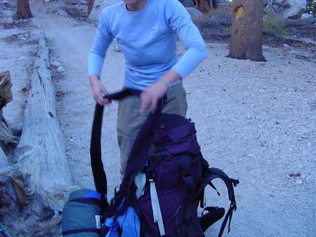
Andy packing up his stuff.
Final pictures before we head down!

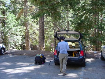
Arrielle is going to filter some water and Andy is busy breaking camp.
Karla breaking her tent
Arrielle filtering water
Kamala just got back from Trail Camp to meet us at Outpost Camp!
Arrielle packed and ready to roll! Our shoulders were so sore today! We were virtually living on painkillers.
Kamala was not feeling well Thursday. We took turns carrying her backpack and bear box.
On the way down to Whitney Portal, Karla helping a backpacker hiking up to Outpost Camp.
Going down the trail to Whitney Portal
On the way down to Whitney Portal, Karla helping a backpacker hiking up to Outpost Camp.
That's me with my 30+ pound backpack and the bear box on top of it. That darn bear box was heavy!
Back @ Whitney Portal ... FINALLY ... a moment of celebration!
Andy happy to be back! :)
Trying to zoom in on Kamala who was having a tough time coming down.

Karla & Arrielle taking celebratory shots!
Everyone wanted to get those heavy backpacks down by this time!
Arrielle: "I'm tired dude! Where is Kamala?"
Celebration shots!
Kamala is back finally! We asked someone to take a group picture of all of us. Left to right: VJ, Kamala ("My shoulders hurt!"), Arrielle, Karla and Andy (at the back).

These are the weigh-in stations @ Whitney Portal. Make sure you don't carry more than 30 lbs.
Relieving ourselves in a real restroom was such a treat!

This is the Whitney trail head.

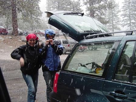
Trudging back to our rental SUV. Taking each step at this point became a feat in itself!
Karla heading back to our SUV.

Back at our Chevrolet Trail Blazer. "Trail Blazers" we were!
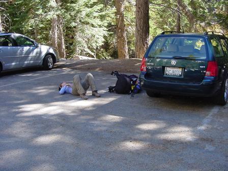
Kamala just lay on the ground - for 15 minutes!
Kamala finally got up and packed her stuff.
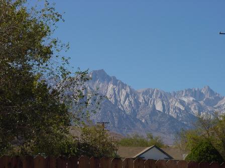
Majestic view of Mount Whitney from a restaurant in Lone Pine, CA. We pigged out at this place. Gorged in 2100 calories each! :)
I live in the beautiful city of Mountain View, CA. It is half way between San Francisco and San Jose, California. For questions and comments, you may contact me at this email.
Pictures from my other escapades are coming soon, so stay tuned...